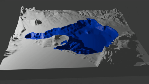
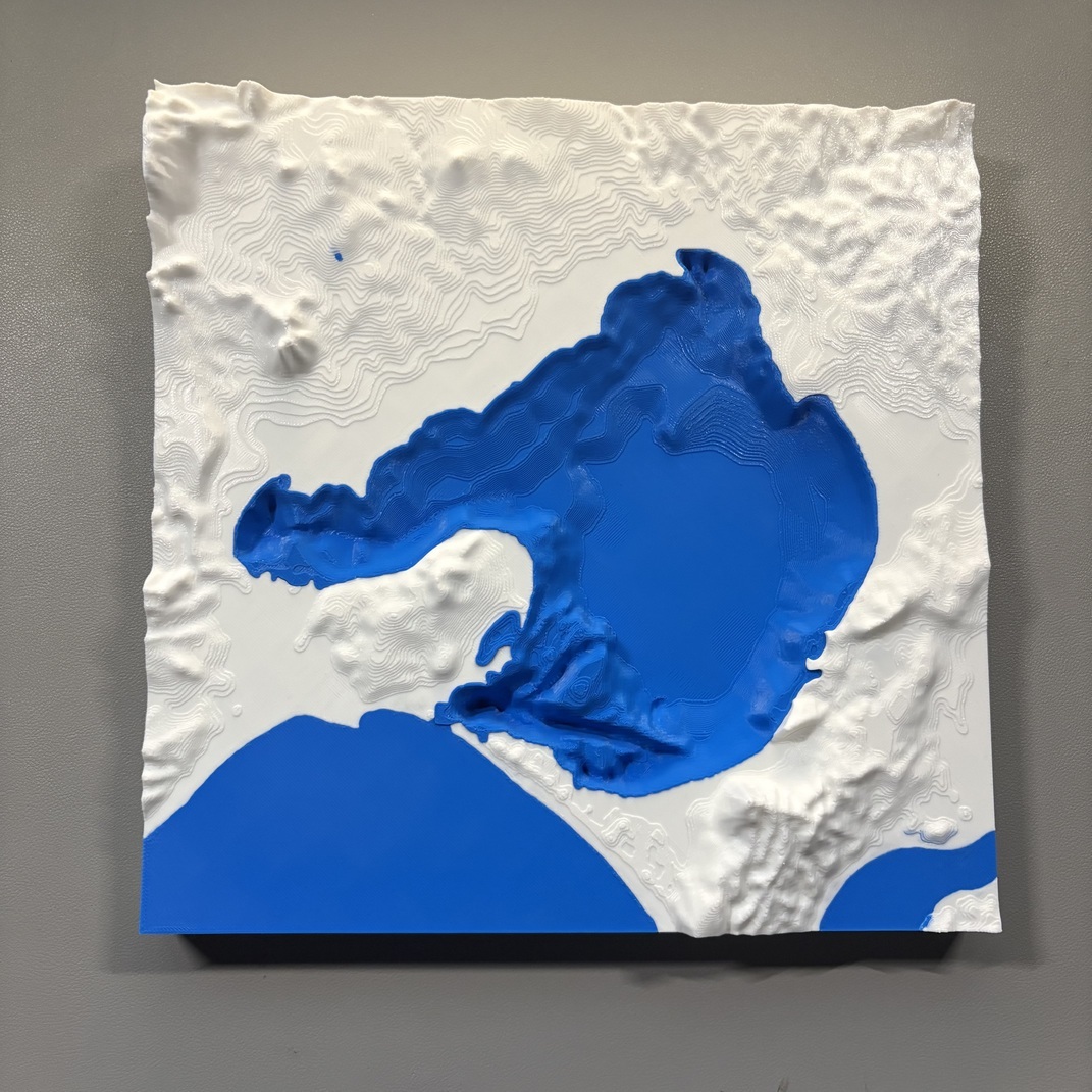
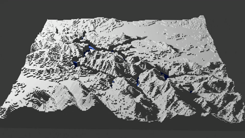
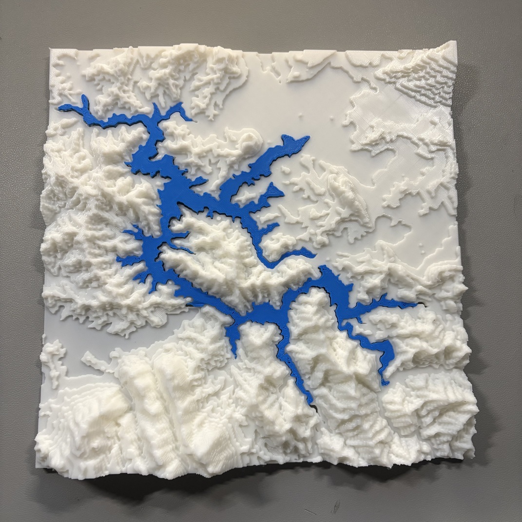
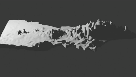
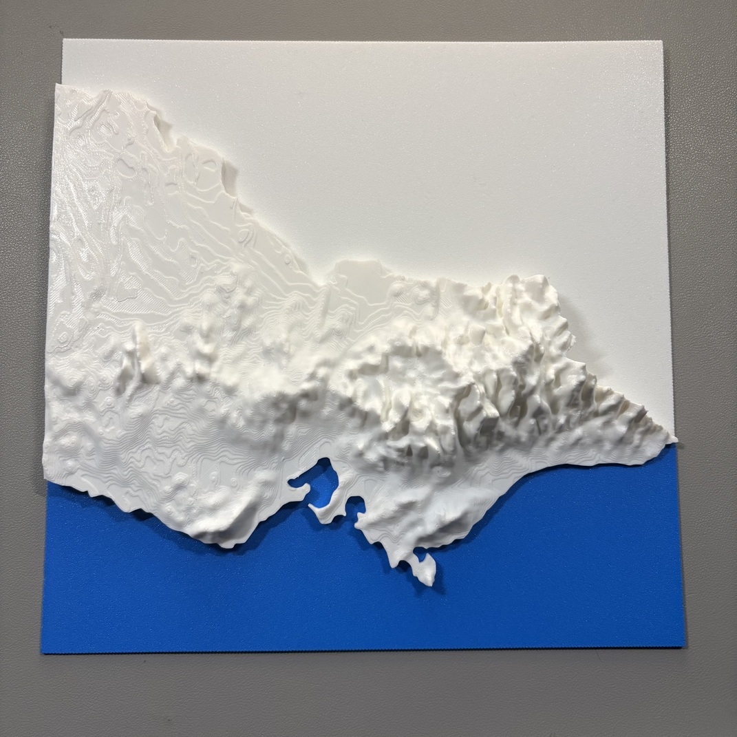
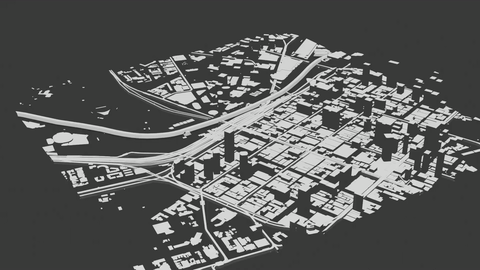
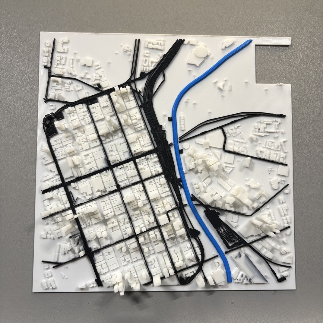
3D modeled and printed topographies/cityscapes in Victoria. Made with Blender and QGIS, contour lines sources from https://discover.data.vic.gov.au. Street map data from OSM.
| Model | Printed |
|---|---|
|
|
|
|
|
|
|
|
|
|
|
|
| Name | Name | Last commit date | ||
|---|---|---|---|---|
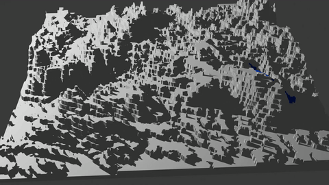
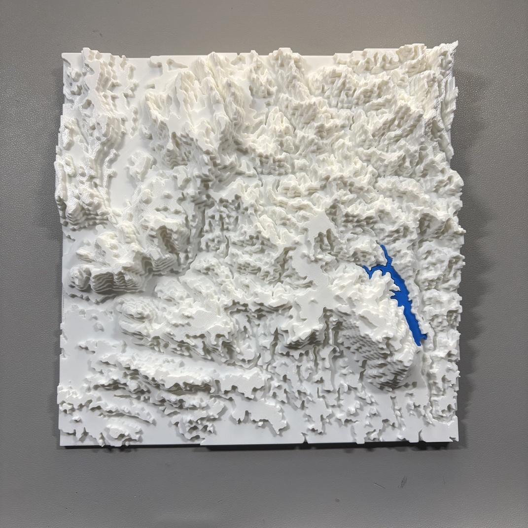
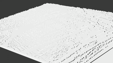
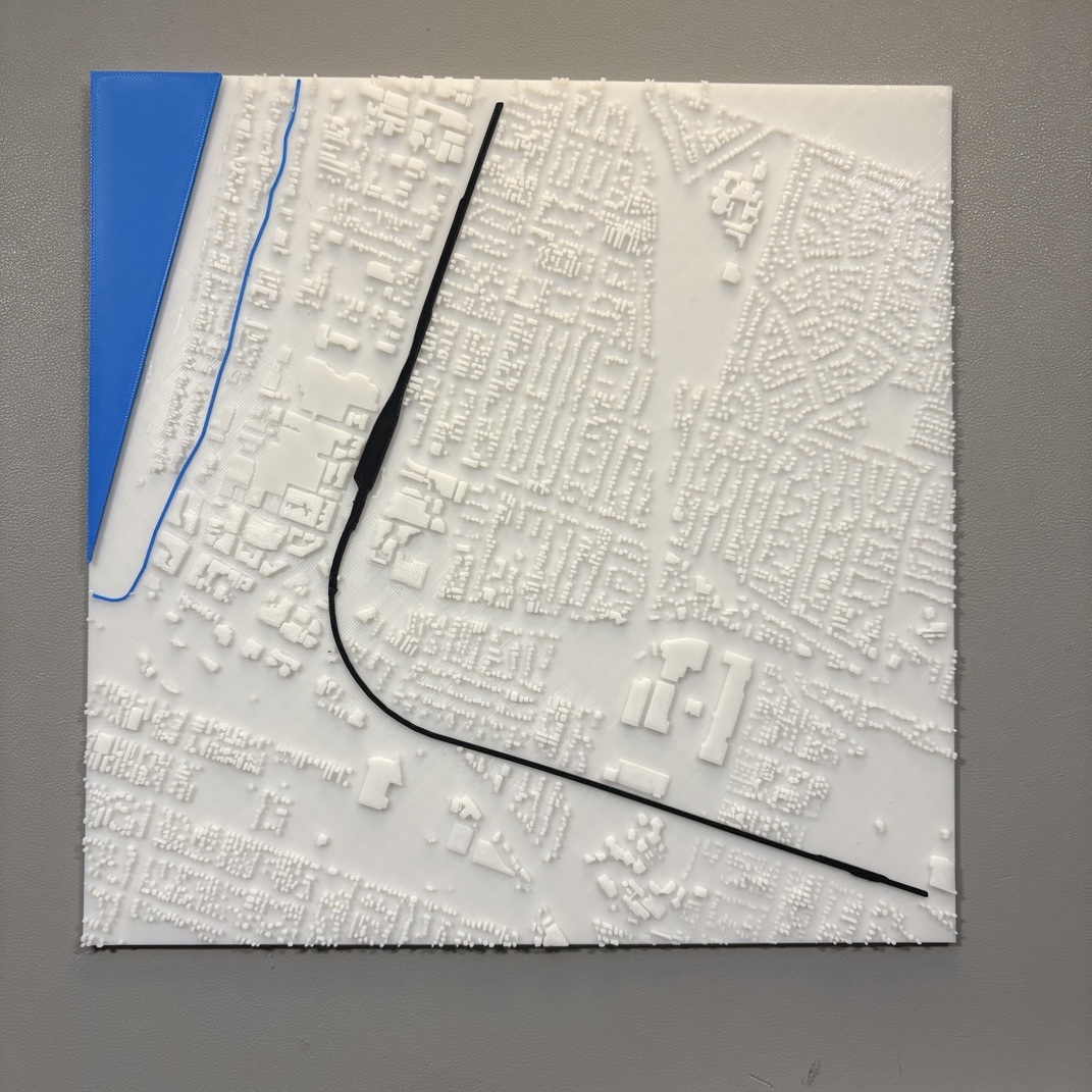
3D modeled and printed topographies/cityscapes in Victoria. Made with Blender and QGIS, contour lines sources from https://discover.data.vic.gov.au. Street map data from OSM.
| Model | Printed |
|---|---|
|
|
|
|
|
|
|
|
|
|
|
|
|
|
|
|
|
|